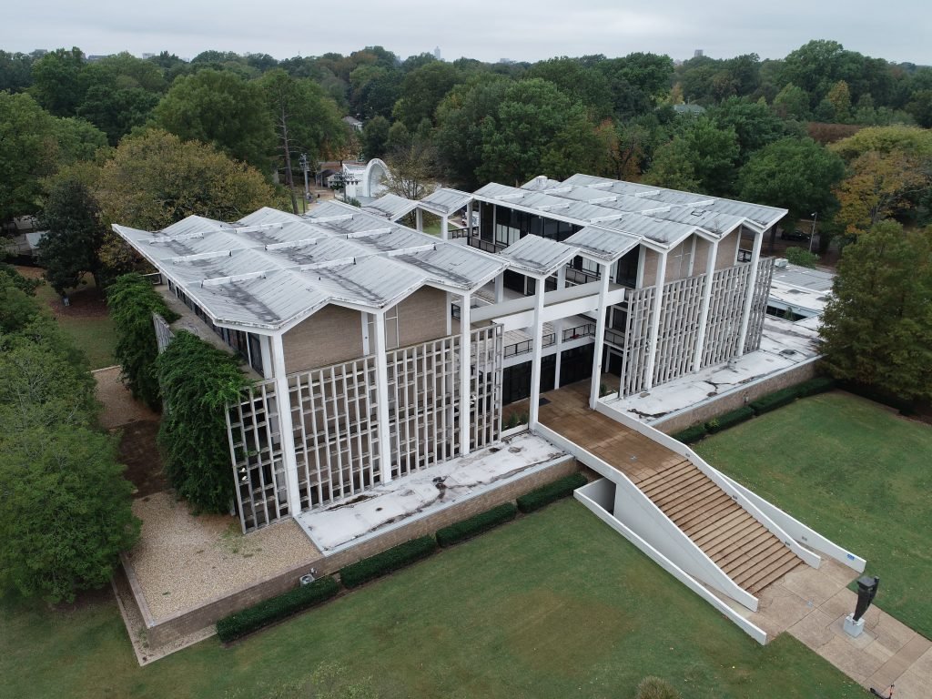
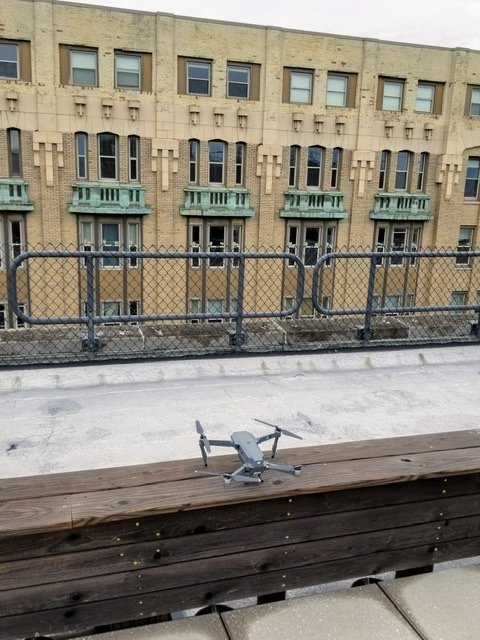
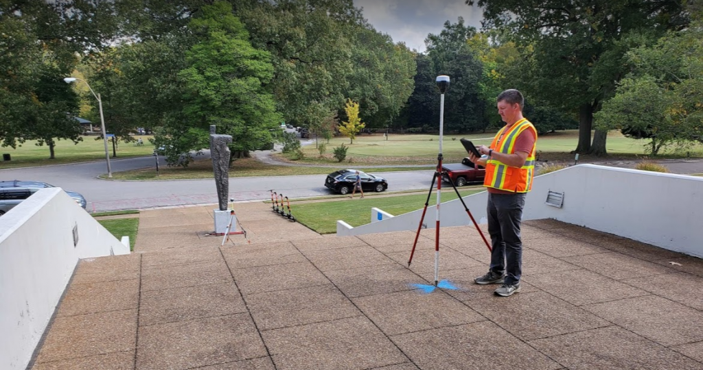
Drone Services & Aerial Photography
Know Your Space offers comprehensive drone services designed to capture detailed views of existing spaces and compile them into comprehensive reports for protection, documentation, design, and construction purposes. All drone operators are Part 107 licensed and fully insured.
Primary Applications
- Construction planning and progress monitoring
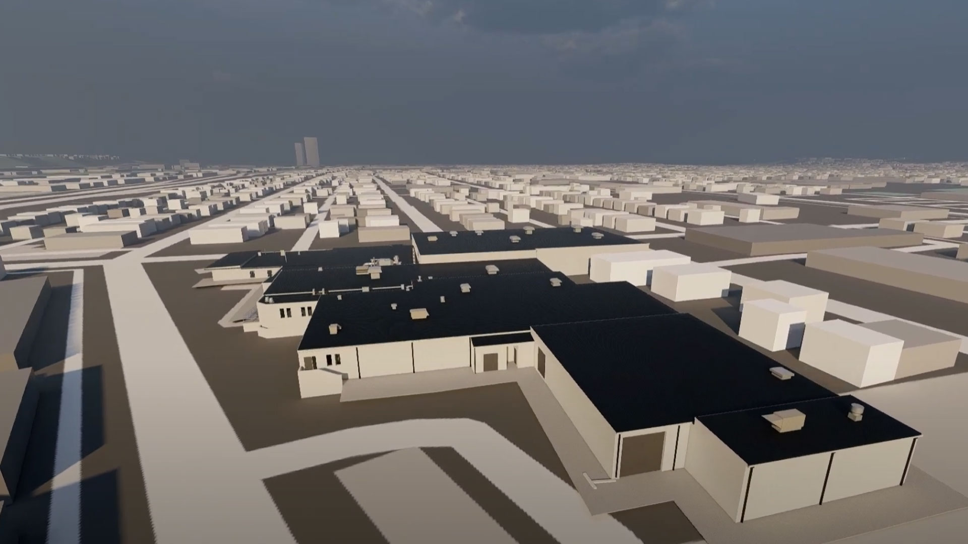
- Orthomosaic mapping and site plans
- Virtual infrastructure inspection
- Asset management and documentation
- Roof plans and condition assessment
- Site logistics planning
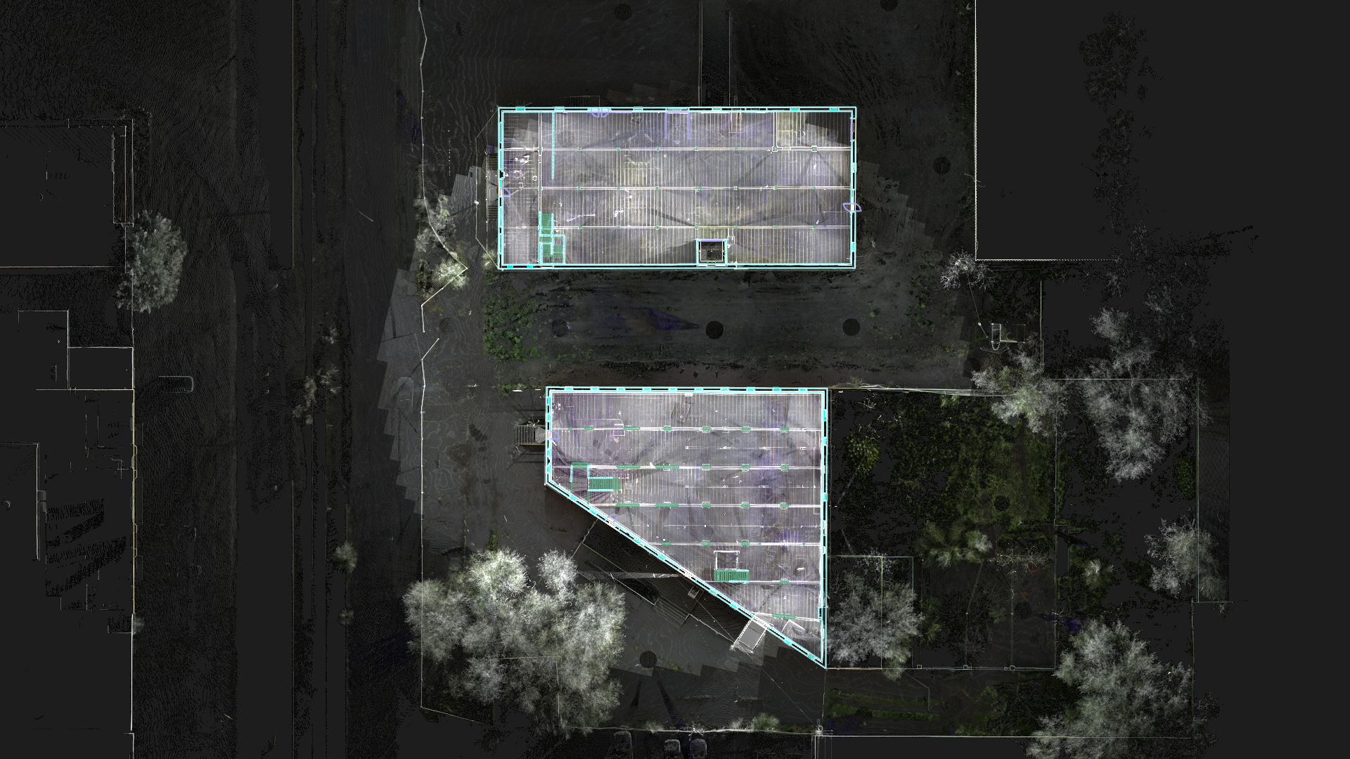
Standard Deliverables
- Orthophotos — Geometrically accurate images for precise measurements
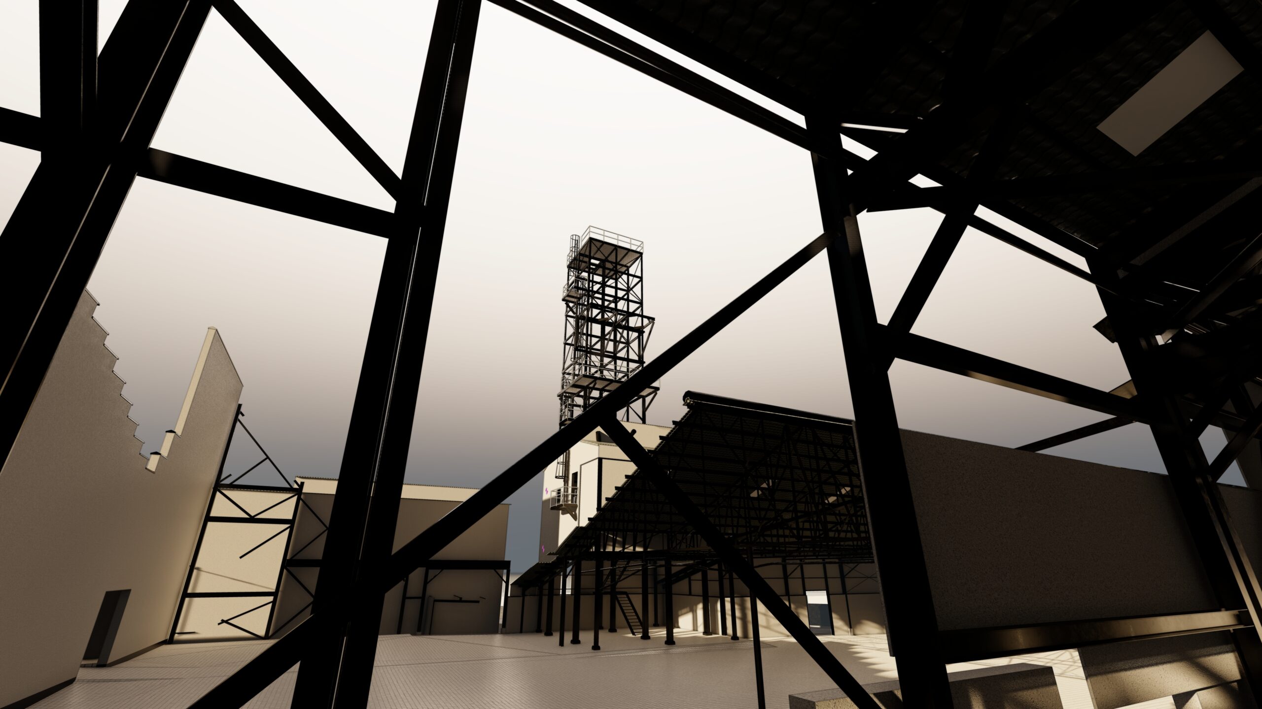
- 3D Photorealistic Models — Detailed visual representations from aerial data
- Videos — High-quality aerial video documentation
- Panoramas — 360° aerial perspectives of your site
- Point Clouds — Dense 3D coordinate data from aerial photogrammetry
- Orthomosaics — Stitched high-resolution images for comprehensive site views
Custom Solutions
For projects with unique requirements, we offer specialized services including architectural modeling derived from point clouds, integrated seamlessly into Revit for comprehensive project documentation.